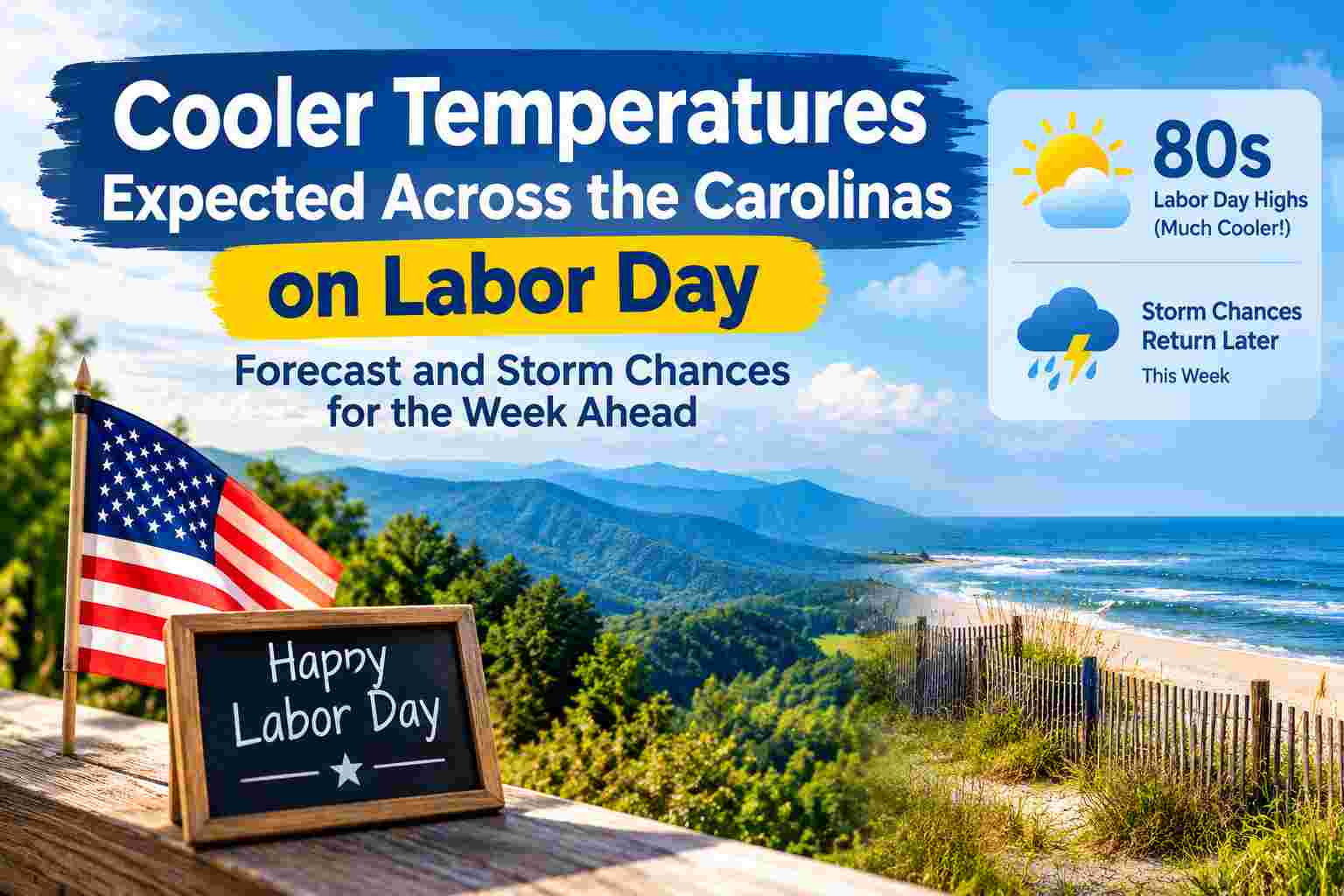
After several days of unusually hot and humid weather, the Carolinas are expected to get some relief as temperatures ease back toward more typical early-September levels for Labor Day.
The change will be noticeable across much of North Carolina and South Carolina, where a hot stretch has pushed afternoon temperatures well above seasonal averages in recent days. The Labor Day forecast is looking considerably more comfortable, although a few showers cannot be ruled out in some areas.
The cooler weather may not last all week. Forecast guidance indicates that temperatures will gradually climb again during the middle of the week, while the chance of showers and thunderstorms increases as another weather system and frontal boundary approach the region.
Labor Day Weather Brings Relief From Recent Heat
The biggest change for the Carolinas on Labor Day will be the drop in temperatures compared with the heat experienced over the weekend.
Recent conditions have included oppressive heat and humidity, with some areas experiencing heat-index values well above 100 degrees. Heat advisories were issued in parts of the region as temperatures climbed into the upper 90s and humidity made conditions feel even hotter.
For Monday, September 7, temperatures are expected to settle closer to seasonal levels.
Much of the Carolinas can expect afternoon highs generally in the low to mid-80s, although temperatures will vary depending on location. Coastal areas may be somewhat cooler, while some inland communities could still reach the warmer end of the forecast range.
The cooler air should make outdoor activities considerably more comfortable than they were during the hottest part of the holiday weekend.
Mostly Cloudy Conditions With Only a Small Shower Chance
Labor Day is expected to be generally quieter across much of the Carolinas.
Some areas may experience periods of cloud cover, while isolated showers remain possible. However, widespread rainfall is not expected to dominate the holiday.
The National Weather Service’s coastal forecasts also show generally pleasant conditions across portions of eastern North Carolina, with temperatures in the upper 70s to mid-80s depending on location.
That means people planning outdoor activities may still be able to enjoy much of the holiday, although checking the latest local forecast is important because conditions can vary significantly between the mountains, Piedmont and coast.
Why Temperatures Are Cooling Across the Carolinas
The cooler Labor Day forecast comes after a period of persistent heat that affected much of the region.
A strong warm-weather pattern helped push temperatures well above normal during the first part of September. In western parts of the Carolinas, heat and humidity became particularly intense, with heat-index values reaching into the triple digits.
As that pattern weakens, changes in the atmosphere are allowing temperatures to move closer to normal for early September.
This does not mean summer-like weather is completely over. September can still bring very warm conditions across the Southeast, and temperatures are expected to rise again after the Labor Day cooldown.
Temperatures Could Warm Back Up Tuesday
The cooler conditions are expected to be relatively short-lived.
By Tuesday, temperatures should begin moving upward again, with many areas returning to the mid-80s.
The warming trend is expected to continue during the middle and latter part of the week, with some locations potentially reaching the upper 80s.
Even though these temperatures are warmer than Monday’s forecast, they would still represent a substantial improvement compared with the extreme heat experienced earlier in the holiday weekend.
The overall pattern therefore looks more seasonal rather than a continuation of the prolonged heat that affected the Carolinas during the previous week.
Storm Chances Increase Later This Week
While Labor Day itself is expected to be relatively quiet for much of the region, the weather becomes more unsettled later in the week.
Forecast information indicates that shower and thunderstorm chances will begin increasing around Thursday as another front or weather disturbance approaches the Carolinas.
Additional showers and thunderstorms could develop Friday and Saturday.
The exact timing and coverage of those storms will depend on how the approaching weather system develops. Some communities may remain dry while others receive locally heavy rainfall or thunderstorms.
Residents should therefore continue checking updated forecasts as the week progresses rather than relying on a single extended forecast.
What to Expect Across Different Parts of the Carolinas
Weather conditions will not be identical everywhere.
Western North Carolina and the Upstate
The western Carolinas experienced some of the most intense heat during the recent warm spell.
Labor Day should bring noticeable relief, with temperatures falling closer to seasonal levels. However, residents should still be prepared for temperatures to rise again during the middle of the week.
Storm chances may also increase later in the week as the next weather system approaches.
Charlotte and the Piedmont
The Charlotte area and surrounding Piedmont communities should also see cooler conditions compared with the weekend.
The region has recently experienced very warm temperatures and high heat-index values. Labor Day should offer a more comfortable setup, particularly during the afternoon and evening.
Temperatures are expected to climb again Tuesday and later in the week.
Coastal North Carolina
Coastal communities may experience some of the coolest temperatures in the region on Labor Day, particularly along the immediate coastline.
Current National Weather Service forecasts for parts of the North Carolina coast show temperatures ranging from the upper 70s to mid-80s, depending on the location.
However, coastal residents and visitors should pay attention to beach hazards. For example, the National Weather Service has issued beach hazard information for portions of the North Carolina coast, with elevated rip-current risks in some locations on Labor Day.
South Carolina
South Carolina is also expected to experience relief from the recent heat, although temperatures will vary significantly from the Upstate to the coast.
Some areas may still feel warm, particularly during the afternoon, but the overall pattern should be much more comfortable than the extreme heat experienced earlier in the holiday weekend.
Storm chances are expected to become more important later in the week.
Is Labor Day a Good Day for Outdoor Activities?
For many parts of the Carolinas, Labor Day should provide a better opportunity for outdoor activities than the hottest days of the holiday weekend.
Lower temperatures will reduce heat stress, particularly during the afternoon.
However, outdoor plans should still account for several factors:
- Temperatures can remain warm even when they are cooler than the weekend.
- Brief showers may develop in isolated locations.
- UV levels can remain high in early September.
- Beachgoers should check local surf and rip-current forecasts.
- Thunderstorm chances are expected to increase later in the week.
- Conditions can change quickly, particularly near the coast and in mountainous areas.
Anyone planning a long outdoor event should check the latest local forecast before leaving home.
Cooler Weather Does Not Mean the Heat Is Over
The Labor Day cooldown should not be interpreted as the end of summer weather across the Carolinas.
September is a transition month, and warm or humid conditions can continue well into the month. The National Weather Service notes that September normally remains warm across the Carolinas, although temperatures gradually decline as fall progresses.
The current forecast simply represents a temporary shift toward more seasonal temperatures after an unusually hot start to September.
Temperatures are expected to rebound after Labor Day, and another round of showers and thunderstorms may develop later in the week.
Carolinas Weather Forecast: What Happens Next?
The overall forecast pattern for the coming days can be summarized as follows:
Monday, Labor Day:
Cooler and generally more comfortable, with many areas seeing highs in the low to mid-80s. Some clouds and isolated showers are possible.
Tuesday:
Temperatures begin to rise again, with many locations returning to the mid-80s.
Wednesday:
Seasonal to slightly warmer conditions are expected, with temperatures continuing to climb.
Thursday:
Temperatures may reach the mid-80s to upper 80s, while shower and thunderstorm chances begin increasing.
Friday and Saturday:
More unsettled weather is possible, with scattered showers and thunderstorms becoming a greater possibility across the region.
Because extended forecasts can change as weather systems move and develop, residents should monitor updated forecasts for the most accurate timing and rainfall expectations.
Bottom Line
The Carolinas are finally getting a break from the intense heat that dominated the region during the opening days of September.
Labor Day, Monday, September 7, is expected to be cooler and more comfortable, with many communities seeing temperatures in the low to mid-80s rather than the upper 90s experienced during the recent heat wave.
The cooler conditions will provide welcome relief for people spending the holiday outdoors. However, the break from the heat is not expected to last indefinitely. Temperatures should begin rising again Tuesday, with warmer conditions returning later in the week.
At the same time, the weather pattern is expected to become more unsettled. Shower and thunderstorm chances should increase from Thursday into Friday and Saturday as another weather system approaches the Carolinas.
For anyone making outdoor, travel or beach plans, the best approach is to take advantage of the cooler Labor Day weather while continuing to monitor local forecasts for changing conditions later in the week.
Frequently Asked Questions
Will it be cooler in the Carolinas on Labor Day?
Yes. Temperatures are expected to be noticeably lower than during the recent heat wave, with many locations forecast to reach the low to mid-80s.
Will it rain on Labor Day in the Carolinas?
Most areas are expected to remain generally dry, although isolated showers are possible. Local conditions can vary, so checking the latest forecast for your specific location is recommended.
When will temperatures warm back up?
Temperatures are expected to begin rising Tuesday, with warmer conditions continuing into the latter part of the week.
When will thunderstorms return to the Carolinas?
Shower and thunderstorm chances are expected to increase later in the week, particularly from Thursday into Friday and Saturday.
Is Labor Day weather safe for outdoor activities?
Conditions should be more comfortable than during the recent extreme heat, but people should still monitor local weather alerts, stay hydrated and check beach hazard information before entering the water.
Will the cooler weather mean fall has arrived?
Not necessarily. September is a transition month in the Carolinas, and warm weather can continue for weeks. The Labor Day cooldown is better viewed as a return toward more seasonal temperatures rather than the end of summer.